What do you do when a package ships to “Pittsburgh, PA” but the address only lists a street name and no ZIP code? For anyone mailing a letter, filing taxes, or setting up a delivery route in western Pennsylvania, the answer usually starts with the number 152. Pittsburgh’s postal identity is built around that three-digit prefix, and once you understand how the city’s ZIP codes are organized, the rest of the map starts to make sense.
This guide breaks down how Pittsburgh ZIP codes work, which neighborhoods fall under which numbers, why the city needs so many of them, and how to look up the right code for any address. It also covers the mistakes people make most often when they guess a Pittsburgh ZIP, because guessing is where most mailing problems begin.
Why Pittsburgh Uses So Many ZIP Codes
Pittsburgh is not one postal zone. It is a patchwork of more than 80 neighborhoods, each with its own delivery routes, mail carriers, and sorting patterns. The U.S. Postal Service assigns ZIP codes based on delivery efficiency, not on city council districts or census tracts. That single fact explains almost everything confusing about Pittsburgh addresses.
The national ZIP system launched in 1963, and Pittsburgh’s codes were built into that framework from the start. The city’s codes generally begin with 152, a prefix that covers Pittsburgh proper and stretches into much of Allegheny County. The nine-digit ZIP+4 format arrived in 1983 to help automate sorting, and many Pittsburgh business addresses now carry those extra four digits.
Here is the part that trips people up: a ZIP code is a delivery route, not a legal boundary. The USPS has said plainly that ZIP codes are not designed as geographic areas and can be adjusted over time. So when two websites disagree about which ZIP belongs to a given block, both may be describing a boundary that has shifted or that was never exact to begin with.
The Core Pittsburgh ZIP Codes and Their Neighborhoods
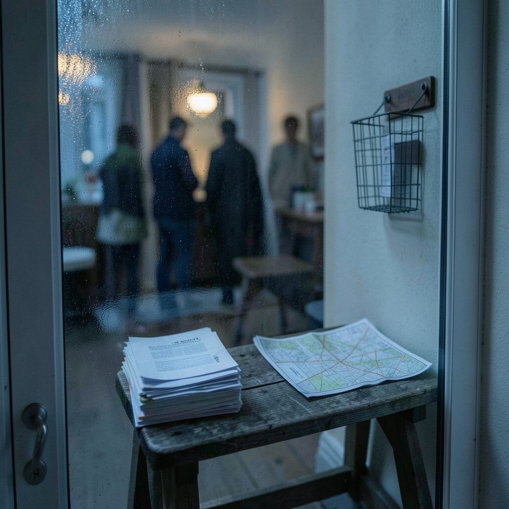
Most people searching for a Pittsburgh postal code want one of a handful of well-known numbers. The table below shows commonly cited neighborhood-to-ZIP pairings. Treat these as a practical starting point rather than gospel, because some boundaries overlap and a single neighborhood can touch more than one route.
| ZIP Code | Commonly Associated Area | Notes |
|---|---|---|
| 15213 | Oakland | Home to the University of Pittsburgh; often treated as the city’s default academic ZIP |
| 15201 | Lawrenceville | Popular residential and restaurant district along the Allegheny |
| 15206 | East Liberty | Mixed residential and commercial corridor |
| 15210 | Carrick and Mount Oliver | South-side hill neighborhoods |
| 15217 | Squirrel Hill | Dense residential area with a strong commercial main street |
| 15232 | Shadyside | Retail and residential neighborhood east of Oakland |
A few practical observations from working with these codes:
- 15213 is the one outsiders remember. It shows up on university mail, hospital correspondence, and a lot of institutional letterhead, which is why people sometimes assume it covers all of Pittsburgh. It does not.
- Neighborhood names and ZIP codes do not map one-to-one. Squirrel Hill and Shadyside sit close together, but their mail routes are separate, and a street that crosses a boundary can have different ZIPs on opposite sides.
- Downtown Pittsburgh has its own codes that differ from the residential neighborhoods listed above, so a business address in the Golden Triangle should always be confirmed rather than assumed.
If you are building anything that depends on location data, whether a directory, a delivery app, or a form that validates addresses, this distinction matters. The same principle shows up in other technical workflows where a code is treated as a location when it is really just a routing label. Teams comparing development environments run into similar assumptions, which is why guides like the breakdown of positron vs rstudio vs vs code workflow differences spend time on how tools interpret the same input differently.
How to Look Up the Correct Pittsburgh ZIP Code
The reliable method is boring, and that is the point. Use an official lookup tool rather than a search engine snippet or a memory of where a friend used to live.
- Start with the USPS ZIP Code Lookup tool. Enter the street address, city, and state. It returns the correct ZIP and the ZIP+4 where available.
- Check the city name too. Some addresses that carry a Pittsburgh-sounding street name are actually in a neighboring municipality with a different ZIP prefix entirely.
- Verify with a second source for anything important. For shipping labels, tax forms, and legal documents, cross-check against the address the recipient gave you rather than a database you found online.
- Watch for prefix drift. The 152 prefix covers Pittsburgh and much of Allegheny County, but not all of it. Some suburbs use other prefixes, including 151xx codes, so a nearby town is not automatically 152.
One common mistake deserves its own warning: people sometimes copy a ZIP code from a map that shows ZIP Code Tabulation Areas, or ZCTAs. Those are statistical approximations published by the Census Bureau, not exact USPS delivery routes. They are useful for demographic analysis and close enough for most mapping work, but they can be slightly off at the edges. If a package absolutely has to arrive, confirm with USPS.
What the 152 Prefix Tells You About Western Pennsylvania
The first three digits of a ZIP code identify a sectional center facility, the regional hub where mail is sorted before local delivery. For Pittsburgh, that hub serves a wide ring around the city, which is why 152 shows up on mail for neighborhoods well outside downtown.
This creates a useful mental model. Think of 152 as a regional flag rather than a city limit sign. It signals “this mail belongs in the Pittsburgh sorting stream,” and the last two digits tell the carrier which route within that stream to use. That is also why the prefix appears on addresses that residents might not describe as “Pittsburgh” in casual conversation.
The same logic applies far beyond Pennsylvania. Postal and area codes everywhere are administrative tools that only loosely track how people think about place. A good comparison is the 469 area code Dallas Fort Worth overlay explained, which shows how a numbering plan can cover a metro region without matching any single city boundary. ZIP codes work the same way: they follow delivery needs, not municipal pride.
ZIP Codes in Everyday Pittsburgh Life
For most residents, the postal code matters in a few recurring situations, and each has its own quirks.
Online shopping and shipping. Retailers validate addresses against postal databases. If you type the wrong Pittsburgh ZIP, the order may fail validation or ship to a sorting facility that sends it on a detour. Getting the five digits right the first time saves days.
Government forms and taxes. Tax software and voter registration systems often cross-check ZIP against city and county. A mismatch can trigger a rejection notice that takes weeks to resolve.
Real estate and rental listings. Listings sometimes show a ZIP that reflects the agent’s database rather than the actual delivery route. Buyers who care about school boundaries or neighborhood identity should verify independently, since ZIP codes were never meant to define those things.
Access systems and deliveries. Property managers who issue temporary entry credentials for deliveries or guests quickly learn that address accuracy is only half the job. The other half is time limits, a problem explored in this guide to smart lock guest code expiration. A wrong ZIP and an expired code both end with someone standing outside.
Common Mistakes People Make With Pittsburgh ZIP Codes
A few errors show up again and again. Avoiding them takes about thirty seconds of checking.
- Assuming 15213 covers the whole city. It is the most recognizable Pittsburgh ZIP, not the only one. Using it for a Squirrel Hill or Lawrenceville address can misroute mail.
- Treating ZIP codes as neighborhood boundaries. Neighborhood associations, city services, and school districts each draw their own lines. A ZIP that matches your neighborhood name on one website may not match on another.
- Guessing the last two digits. Pittsburgh’s 152xx range is dense. A single digit off can send a letter to a completely different route on the other side of the city.
- Ignoring ZIP+4 on business mail. Large mailers get better sorting and fewer returns when they include the full nine digits. It is optional for personal letters and genuinely useful for bulk correspondence.
- Relying on outdated print directories. ZIP assignments can change. A directory printed five years ago is a reference, not an authority.
There is a broader lesson here that applies to anyone working with identifiers and codes. Whether you are validating postal routes, comparing AI coding assistants in a Claude code vs GitHub Copilot output quality comparison, or choosing a code editor for Mac, the tool is only as good as the accuracy of what you feed it and how current it is.
How Pittsburgh’s Postal Map Compares to Other Cities
Pittsburgh’s approach is not unusual, but the scale is worth noting. A sprawling city with hills, rivers, and dozens of distinct neighborhoods needs many delivery routes. Cities with simpler geography often get by with fewer codes.
| City Type | Typical ZIP Pattern | What It Means for Residents |
|---|---|---|
| Large, hilly city with many neighborhoods (Pittsburgh) | Many codes under one prefix (152xx) | Address lookup is essential; neighborhood names rarely match codes exactly |
| Compact grid city | Fewer codes, tighter boundaries | Codes often align more closely with familiar neighborhood names |
| Sprawling metro with suburbs | Multiple prefixes across the region | City name alone is not enough; the prefix reveals the sorting hub |
The practical takeaway for Pittsburgh is simple: never assume. Look it up.
Conclusion
Pittsburgh’s postal code system comes down to one number family, 152, and a lot of local variation underneath it. The city’s neighborhoods each sit on their own delivery routes, which is why 15213 belongs to Oakland, 15217 to Squirrel Hill, and 15201 to Lawrenceville, while dozens of other codes fill in the rest of the map. ZIP codes were built for sorting mail, not for drawing neighborhood lines, and remembering that one fact prevents most of the confusion people run into.
The reliable habit is to check before you send. Use an official lookup, confirm the prefix when an address is near a municipal border, and do not trust a guess about the last two digits. Whether you are shipping a package, filing a form, or setting up a delivery route, a thirty-second verification beats a week of wondering where the mail went.
FAQ
What is the main ZIP code for Pittsburgh, Pennsylvania?
The most widely recognized Pittsburgh ZIP code is 15213, which covers the Oakland area and the University of Pittsburgh. It is not the only code for the city, though. Pittsburgh uses many ZIP codes within the 152xx range, and each one serves a specific set of delivery routes.
Do all Pittsburgh ZIP codes start with 152?
Most Pittsburgh codes begin with 152, and that prefix also covers much of Allegheny County. However, not every address in the county uses it. Some neighboring suburbs fall under other prefixes, including 151xx codes, so an address near the city line should always be verified rather than assumed.
What is the difference between a ZIP code and a ZIP+4 code?
A standard ZIP code is five digits and identifies a delivery area. A ZIP+4 code adds four more digits that narrow the location to a specific block, building, or mail stop. The USPS introduced ZIP+4 in 1983 to improve automated sorting. It is optional for personal mail and helpful for bulk business mail.
Can a ZIP code change over time?
Yes. The USPS treats ZIP codes as delivery routes rather than fixed geographic boundaries, and routes can be adjusted as mail volume and delivery patterns change. That is why an older printed directory or a cached web result may not reflect the current assignment. Always confirm with a current official lookup.
Which ZIP code covers Squirrel Hill and Shadyside?
Squirrel Hill is commonly associated with 15217, and Shadyside with 15232. These are practical reference points rather than absolute rules, since some streets near neighborhood edges can fall into adjacent routes. Confirm the exact address before relying on either number for shipping or official paperwork.
Are ZIP codes the same as neighborhood boundaries?
No. ZIP codes are designed for mail delivery, and the USPS has stated they are not geographic areas. Neighborhood associations, city services, and school districts each define their boundaries separately. A ZIP code may roughly match a neighborhood name, but it should never be treated as an official boundary line.