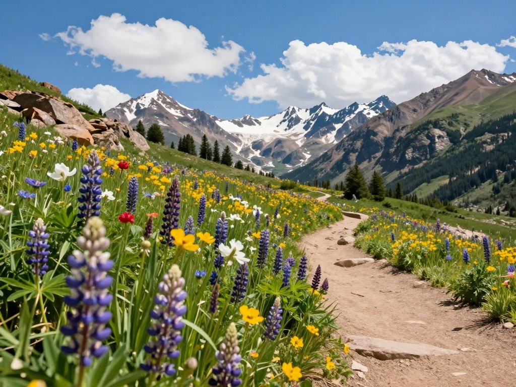
Colorado’s best day hike depends on whether you want an easy view, a waterfall or a demanding alpine climb. The state offers short city walks, creekside paths and high-elevation routes, but the right pick depends on your time and fitness. Elevation gain is the total vertical climbing accumulated along a route.
Explore options near Denver, around Colorado Springs, along the Front Range and in Rocky Mountain National Park. Trail and weather conditions vary by elevation and season, so a clear summer morning in town may not match conditions higher up. Even a short walk can feel harder at altitude.
Key Takeaways
- Choose a route based on distance, climbing and the time you have.
- Colorado Springs has flexible walks, short waterfall routes and steep climbs.
- Denver-area options include creek walks, a waterfall and an easy-view loop.
- High-country trails can bring more climbing, altitude and access needs.
- Check current trail conditions before leaving for any hike.
Use the regional sections to narrow the list to a trail that matches the time and effort you have available.
Where to Find the Best Places to Hike in Colorado
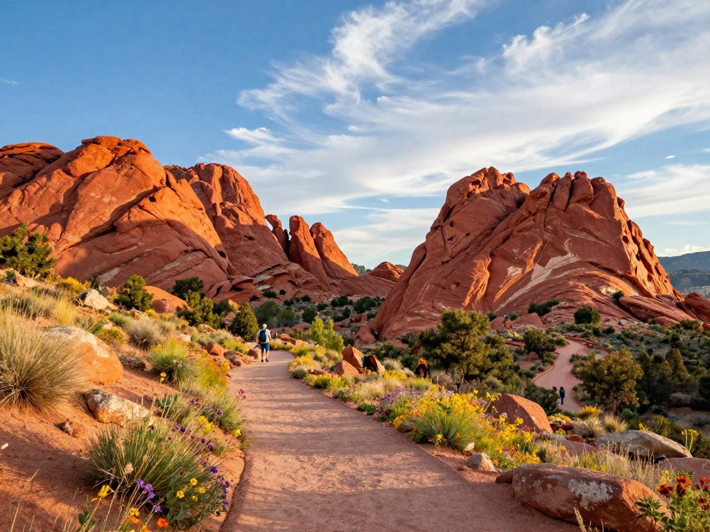
For the easiest flexible outing, start with Garden of the Gods; for a short waterfall walk, choose Buffalo Canyon Trail. Colorado Springs has trails for every pace, from paved-feeling strolls among red rock to routes with a steady climb. Garden of the Gods offers free entry and several trail choices, from 0.5 to 3.5 miles round trip.
Use this table to compare local hikes by distance, climbing and the kind of outing each route offers. Distances and elevation gain vary by the exact trail you choose within larger open spaces.
| Trail | Round-trip distance | Elevation gain | Practical distinction |
|---|---|---|---|
| Garden of the Gods | 0.5-3.5 miles | Minimal to 300 feet | Free entry |
| Red Rock Canyon Open Space | 1-3.3 miles | Minimal to 350 feet | No permit required |
| Buffalo Canyon Trail | 0.5 mile | 118 feet | Leads to Cascade Falls |
| Intemann Trail Loop | 2.3 miles | 449 feet | Views of Pikes Peak and nearby open spaces |
| Pulpit Rock Park Loop | 4.2 miles | 557 feet | Ridgeline with Rocky Mountain views |
Pick the Garden of the Gods route that fits your energy; its short options and free entry make planning simple.
Red Rock Canyon Open Space has trails from 1 to 3.3 miles round trip, with minimal to 350 feet of gain. You do not need a permit. Intemann Trail Loop gives you views of Pikes Peak, Garden of the Gods and Red Rock Canyon Open Space.
For a second short falls walk, Helen Hunt and Silver Cascade Falls covers 0.6 mile round trip with 298 feet of gain. The water can dwindle to a trickle during part of the year, so the view may change with the season.
Santa Fe Regional Trail runs 16.9 miles point to point and gains 1,213 feet. Turn around whenever you like, making it a good option when you want to set your own distance. Pulpit Rock Park adds a longer loop and a ridgeline setting.
For a stronger climb, Mount Muscoco gains 1,292 feet over 4 miles round trip to an 8,020-foot summit. Red Mountain covers 2.5 miles with 944 feet of gain, while Seven Bridges Trail is 5.7 miles with 1,597 feet of gain.
Choose Garden of the Gods for an easy-access outing with flexible distance; choose Mount Muscoco for a more serious climb. The waterfall routes are brief, but their appearance depends on the season. Check the falls before setting out if seeing flowing water is the main reason for your trip.
Which Denver-Area Trails Have Waterfalls, Lakes or Easy Views?
A close-in scenic walk can be as short as the 1.5-mile Red Rocks Trading Post loop, while a creekside Maxwell Falls outing has a longer 4-mile option. The Denver area offers different kinds of water and views, from a small waterfall to a canyon lake. Red Rocks Trading Post is about 20 minutes from downtown and gains 357 feet.
The best hikes near Denver depend on whether you want a short loop or a longer creekside walk. These five trails make it easier to match a day out to your priorities and drive time.
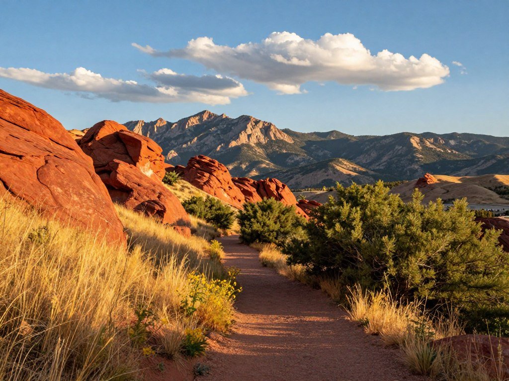
- Raccoon Trail: This 2.7-mile loop gains about 500 feet and has Continental Divide views. Colorado State Parks charges $12-$17 per vehicle for a day pass.
- Maxwell Falls: Choose the 0.9-mile Upper Falls route for a shorter waterfall hike near Denver. The 4-mile Lower Loop follows a creek for more time by the water.
- Red Rocks Trading Post Trail: This 1.5-mile loop has 357 feet of gain, with red-rock scenery about 20 minutes from downtown.
- Forsythe Canyon: About 1 hour 15 minutes from Denver, this easy-to-moderate hike visits a waterfall, stream, canyon and lake.
- Fowler Trail: This moderate state-park route is 4.0 miles round trip with 433 feet of gain. Entry costs $10 per vehicle or $4 per person without a vehicle.
Waterfall hikes near Denver include Maxwell Falls, Forsythe Canyon and Fowler Trail. Maxwell Falls and Forsythe Canyon are also good picks among the best hikes near Denver with water, though stream and falls conditions can change.
Forsythe Canyon can feel like a hidden-gem hike near Denver when you want several types of scenery on one outing. Its canyon route brings more variety than a simple viewpoint walk, while the drive takes longer than a close-in option.
An easy hike near Denver with a view is the Red Rocks Trading Post loop, but its 357 feet of gain still calls for a steady pace. For a longer water-focused day, Maxwell Falls’ Lower Loop follows the creek for 4 miles.
These hikes near Denver range from a compact loop to a moderate outing with a longer drive. Check the day-pass or state-park entry requirement before driving to a trailhead.
Which Front Range Hikes Are Worth the Extra Climb?
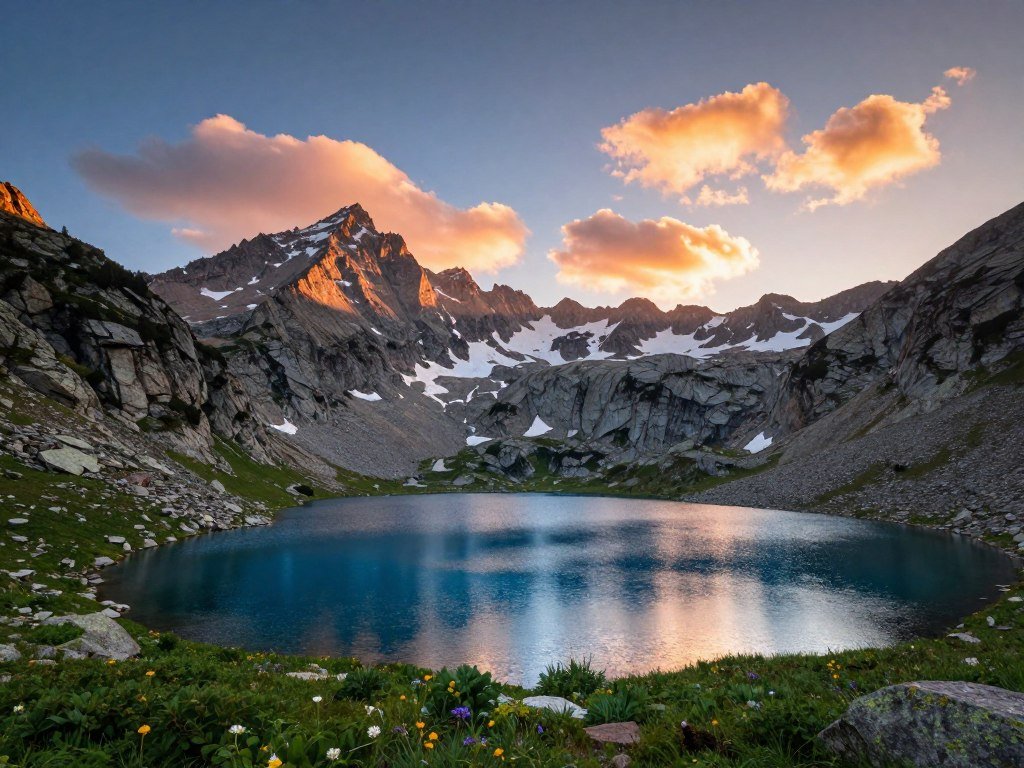
For a demanding lake outing, Silver Dollar Lake and Murray Lake is the strenuous choice; for a shorter high-altitude walk, Saint Mary’s Glacier is 1.6 miles round trip. The best hikes along the Front Range depend on how much climbing and altitude you want. At Saint Mary’s Glacier, the trailhead itself sits at 10,388 feet.
Compare distance, gain and scenery before choosing a route. A modest mileage figure can still mean a hard day when the trail begins high or climbs steeply.
| Route | Distance | Gain or trailhead elevation | Effort or standout feature |
|---|---|---|---|
| Devil’s Head Lookout | Not specified | Nearly 900 feet; above 9,700 feet | Lookout views |
| Echo Lake to Idaho Springs Reservoir | 4.0 miles out and back | 761 feet | Above 10,000 feet throughout |
| Silver Dollar Lake and Murray Lake | 4.3 miles | Not specified | Strenuous alpine-lake hike |
| Kenosha Pass East or West | 5.5 miles East; 5 miles or more West | Not specified | South Park views or direction toward Breckenridge |
| Saint Mary’s Glacier | 1.6 miles out and back | 528 feet; 10,388-foot trailhead | $20 parking |
Echo Lake to Idaho Springs Reservoir suits hikers who want a defined 4-mile out-and-back route. It gains 761 feet and stays above 10,000 feet for the whole hike. That setting makes the trailhead elevation part of the day’s effort.
Silver Dollar Lake and Murray Lake is the pick for a strenuous 4.3-mile alpine-lake hike. Devil’s Head Lookout offers a different goal: nearly 900 feet of climbing to an elevation above 9,700 feet, ending at a lookout.
Kenosha Pass East on Colorado Trail Segment 5 covers 5.5 miles, with views into South Park. West on Segment 6 can be followed for 5 miles or more toward Breckenridge. Either direction can suit a flexible day, since you can turn around at a chosen point.
Saint Mary’s Glacier packs 528 feet of gain into 1.6 miles, and parking costs $20. Treat trailhead elevation as part of the effort, not just the distance on the map.
How Should You Plan a Rocky Mountain National Park Hike?
Sprague Lake is the gentler choice at 0.8 mile, while Sky Pond is the more demanding outing at 8.5 miles and 1,800 feet of gain. In Rocky Mountain National Park, distance changes the day: a short lakeside walk and an alpine climb need very different plans. Sky Pond includes a slippery scramble beside a waterfall, so move with care.
Choose a route that fits your group’s energy and the conditions at its elevation. A lake walk can be a calm way to spend time outdoors, while Sky Pond calls for more strength and steady footing.
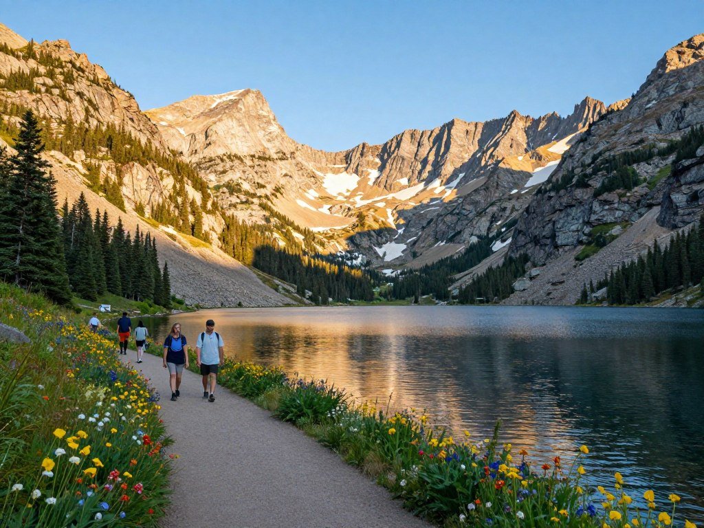
Short lake walks and longer alpine routes
Sprague Lake is an easy 0.8-mile walk around a 13-acre lake. The short loop suits a relaxed visit, while Sky Pond is a much longer hike with 1,800 feet of climbing.
That climb leads beside a waterfall, where the rock scramble can be slippery. Give yourself time to assess each step rather than rushing to keep up with other hikers.
Reservations, trail conditions and park rules
In 2026, timed-entry reservations were required from May 22 through October 12 for entry between 9 a.m. and 2 p.m. Entry before 9 a.m. or after 2 p.m. did not require a reservation. The processing fee was a non-refundable $2.
Each reservation allowed entry during a designated two-hour window, with no set departure time after entry. Standard Timed Entry did not cover the Bear Lake Road Corridor. Timed Entry+ Bear Lake Road covered that corridor and the rest of the park.
The Bear Lake Road Corridor had its own 2026 reservation dates: May 22 through October 18, from 5 a.m. to 6 p.m. A Timed Entry+ Bear Lake Road reservation covered the corridor during those hours.
On October 22, 2026, trails above 9,000 feet may have snow or ice, while most lower trails are mostly clear and dry. Overnight frost can leave lower trails icy early in the morning. Carry traction devices on icy or snow-packed trails, because conditions can change quickly with elevation and during the day.
Pets are prohibited on trails, tundra and meadows in Rocky Mountain National Park. Park entry also requires a $25-$35 per-vehicle entrance fee or pass. For planning a park visit, review this guide to drone rules and park access, since recreational drone flights are prohibited on National Park Service lands.
Check the current park alert and reservation details before leaving, since the stated entry dates apply to 2026.
Which Iconic Colorado Mountain Hikes Fit Your Plans?
For a high-country lake day, Blue Lakes offers a moderate route to the lower lake, while Ice Lakes Basin is the bigger 9.5-mile effort. These mountain hikes in Colorado suit hikers who plan around distance, gain and access, not effortless scenic stops. Ice Lakes Basin gains 3,000 feet and climbs above 12,000 feet.
Blue Lakes gives you a choice: walk 7 miles round trip to the lower lake, or continue about 9 miles to the upper lake. The added distance and climbing make the upper extension harder.
Alpine lakes and high-country climbs
For a moderate lake-focused day, Blue Lakes is the gentler choice. The lower lake route covers 7 miles round trip, while the upper lake adds distance and a harder climb to about 9 miles.
Ice Lakes Basin takes more effort: its 9.5 miles include a strenuous climb above 12,000 feet. Summer wildflowers can add color along mountain routes, though bloom timing shifts with conditions and elevation.
Hikes Colorado visitors choose for alpine scenery can vary widely in effort. A lake name does not tell you how much climbing comes before the view, so compare distance and gain together.
A steep challenge or a permit-controlled waterfall
The Manitou Incline is a concentrated challenge, gaining about 2,000 feet between elevations near 6,000 and 8,000 feet. Its steep climb differs from a longer trail, but the gain still demands careful pacing.
Hanging Lake is shorter at about 3 miles round trip, with 1,050 feet of gain. It requires a permit, so access is part of the plan, not an afterthought.
Both routes suit people who want a clear physical challenge, rather than a casual stop for views. Confirm permits and current access conditions before committing to a popular destination.
What Should You Know About Colorado Weather and Trail Safety?
On a summer 14er, an early start matters because afternoon thunderstorms can make an exposed summit unsafe. Timing matters most above treeline, where ridgelines leave little shelter when lightning threatens. Many 14er hikers start around 4-6 a.m. to get down before storms build.
That start time is an example for 14ers, not a rule for every hike. Check the forecast for your route and pace yourself gradually at altitude, especially if you are not used to higher elevations.
Start timing, storms and altitude
Summer afternoon thunderstorms can make exposed ridgelines and terrain above treeline hazardous. If lightning threatens, avoid those areas and choose a route with lower terrain or a safer turnaround point.
Snow can fall at high elevations even in summer. A warm forecast in town does not promise the same weather on a summit, so check conditions for the place you plan to hike.
Wildlife, clothing and changing conditions
Wear layers so you can adjust when the temperature changes. Bring sun protection, and keep a backup plan in case snow makes your chosen trail hard to use.
Give moose room to move and never approach them. They are large wild animals, and a close view is not worth blocking their path.
- Weather forecast: Check conditions for the trail’s elevation.
- Route and turnaround time: Set a point to turn back.
- Water and layers: Pack enough for the planned outing.
- Wildlife and trail alerts: Look for current notices before leaving.
These checks help you make a clear call before the trail becomes harder to leave. Turn back when weather, footing or altitude symptoms make continuing a poor risk.
What Should You Check Before Driving to a Trailhead?
A trail can be open and still be a poor choice if its permit, parking or access road does not fit your plan. Access can shape the whole day, especially at busy trailheads or on rough high-country roads. Check permit rules, parking and road access before you commit to a route.
Lake Isabelle is in the Brainard Lake Recreation Area and requires a permit. The 4th of July trailhead for Arapaho Pass and Lake Dorothy has limited parking, and its access road is bumpy, though most cars can get through.
Use this short pre-drive checklist to catch problems while you still have time to choose another route. The land manager’s rules and the road can matter as much as the hike itself.
- Permit: Check the land manager’s current permit requirements.
- Parking and road: Confirm parking limits and access conditions.
- Route plan: Confirm the trail and your turnaround point.
- Offline map: Save a map before losing cell service.
Confirm whether the listed distance is point-to-point or out-and-back before estimating your day. A point-to-point route does not bring you back to the start, while an out-and-back repeats the same trail.
For Brainard Lake and other managed areas, check the land manager’s current rules rather than relying on old trip notes. The same check can clarify permit windows and how parking works at a crowded trailhead.
Road conditions can affect how long it takes to reach a trail, even when most cars can pass. Build that drive time into your plan, especially when limited parking could force you to change routes.
Keep a second nearby route in mind in case parking is full or access conditions change.
A saved offline map can help you follow your route when your phone has no signal. For other outdoor outings, this drone location guide explains why airspace rules and permission to launch are separate checks.
Conclusion
The best Colorado outing is the one that fits your group’s energy, timing and appetite for altitude. A shorter route can still deliver memorable scenery, while a high-elevation hike calls for more planning and care.
Choose one trail that matches everyone’s ability, then check its current conditions before you leave. A little time spent on access and route details can save a long drive to a closed or crowded trailhead.
Pick your route, check its current access conditions and give yourself room to enjoy the day.
FAQ
Do I need a reservation to hike in Rocky Mountain National Park?
Yes, timed-entry reservations applied during set dates and hours in 2026. From May 22 through October 12, entry between 9 a.m. and 2 p.m. required a reservation. The Bear Lake Road Corridor had a separate Timed Entry+ option, required May 22 through October 18, from 5 a.m. to 6 p.m. Check the current rules for your visit date.
Can I bring my dog on trails in Rocky Mountain National Park?
No, pets are prohibited on trails, tundra and meadows in Rocky Mountain National Park. That rule means you cannot bring a dog along on a hike, even if the route is short or near a parking area. Make a separate plan for your pet before visiting, and check park rules for any other areas you plan to enter.
What is an easy hike near Denver with a view?
Red Rocks Trading Post Trail is a 1.5-mile loop with 357 feet of elevation gain, about 20 minutes from downtown Denver. Its compact route makes it a practical choice when you want a view without committing to a long day. The gain is still enough to make the walk more than a flat stroll, so wear shoes suited to uneven ground.
How early should I start a Colorado hike in summer?
Start early enough to finish exposed parts before storms threaten, and use the forecast and route length to set your timing. For 14ers, hikers often start around 4-6 a.m.; that is not a universal start time for every trail. A shorter walk at lower elevation may need a different plan, while a long summit route needs more time.
Which Colorado hike is best for a waterfall?
For a short waterfall walk, Buffalo Canyon Trail is 0.5 mile round trip to the base of Cascade Falls. Near Denver, Maxwell Falls and Forsythe Canyon offer waterfall scenery with creek or stream settings, while Fowler Trail is another moderate option. Water flow can vary by season, so the falls may look different from one visit to another.
How should I handle altitude on a Colorado hike?
Move at a gradual pace, take breaks and turn back if symptoms worsen. Higher elevation can make a familiar distance feel harder, so avoid rushing to keep up with someone else. Plan a route that fits your fitness and the elevation you expect to reach. Pay attention to how you feel as you climb, rather than relying only on the map.
Are Colorado hiking trails open year-round?
Some trails may be accessible in different seasons, but snow, ice, closures and road access vary by elevation and time of year. A route that is dry at lower elevations may have snow or slick footing higher up. Check current trail and road conditions before leaving, and be ready to choose another route if access has changed.