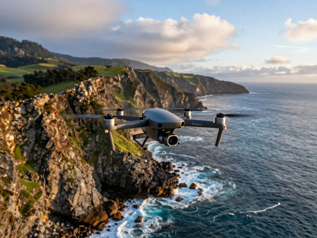
A good drone outing starts with two choices: the view you want and a place where you can legally and safely fly. A scenic destination may offer a striking shoreline, a quiet field, or a wide-open sky, but beauty alone never clears a launch site. The best places to fly drones give you a strong reason to visit and a practical area to scout.
This list spans coastal towns, islands, city edges, and open landscapes across many states. Each spot can help you plan a rewarding day, whether you have a few hours or a full trip. Your choice still depends on the exact ground access, current airspace, and people nearby. Treat every destination as a starting point for checking the exact launch area, not as blanket permission to fly.
Key Takeaways
- Scenery does not guarantee a legal launch site.
- Check airspace and local ground access for each spot.
- Choose a location that suits your flight goal.
- Plan for people, wildlife, and changing conditions.
- Use destination names as scouting ideas, not flight permission.
Do You Need a License to Fly a Drone for Personal Use?
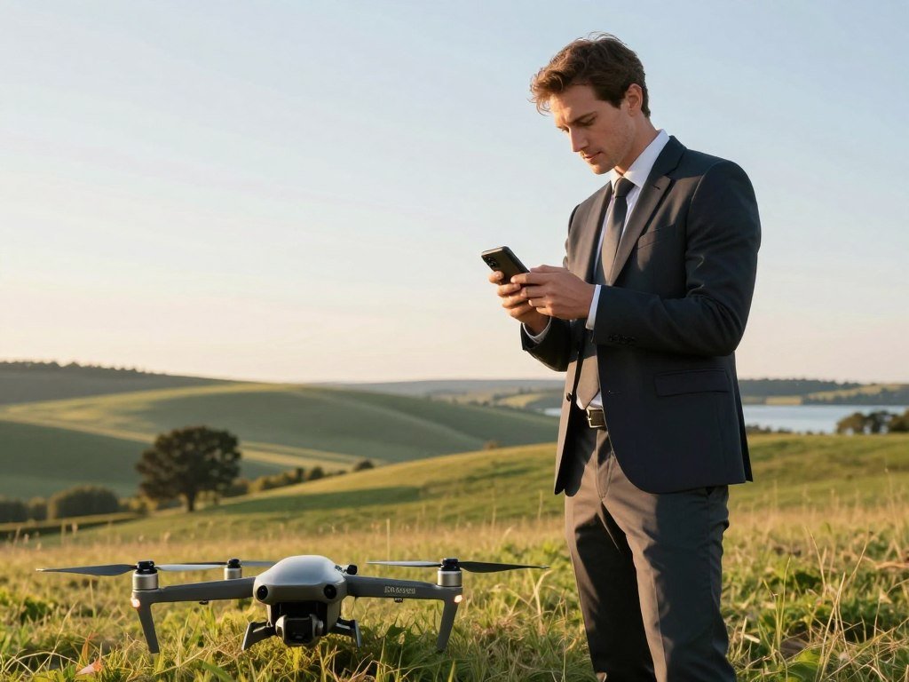
Personal recreational flying does not require a Part 107 certificate, but every recreational flyer must complete TRUST before flying. TRUST is the recreational safety test, and you must carry proof of completion while operating. In 2026, FAA-approved test administrators offer it free, and you can correct answers until you reach 100%.
A recreational drone weighing under 250 grams does not need FAA registration based on weight alone. Controlled airspace is airspace where aircraft operations are subject to air traffic control requirements. You need prior FAA authorization for covered controlled airspace, even when your drone is small.
What FAA Rules Apply to Recreational Flights?
Follow these core drone regulations before choosing a site. The FAA recreational flyer rules cover key operating duties.
- Keep the drone within visual line of sight, or use a visual observer beside you who stays in direct communication.
- Fly no higher than 400 feet in Class G airspace.
- Get authorization before flying at or below approved altitudes in Class B, C, D, or airport surface Class E airspace.
- Give way to other aircraft and never interfere with them.
- Follow safety guidelines from an FAA-recognized Community-Based Organization.
Do Drones Under 250 Grams Need Registration?
Weight matters, but it is not the only rule that applies to a drone. Recreational flyers must register drones weighing 250 grams, or 0.55 pounds, or more with the FAA. Drones that need registration must broadcast Remote ID, unless you fly within a Federally Recognized Identification Area.
TRUST administrators include the Academy of Model Aeronautics, Boy Scouts of America, Pilot Institute, UAV Coach, and University of Arizona Global Campus. If you lose your certificate, you must take TRUST again. Keep proof of TRUST completion with you whenever you operate.
How Do You Find the Best Places to Fly Drones?
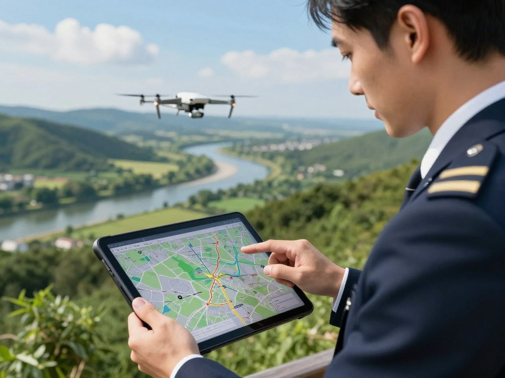
Use an FAA-approved B4UFLY provider to check the airspace picture, then verify the local rules for the ground where you plan to launch. A drone airspace map helps you spot limits, nearby airports, and other concerns. It does not prove that a park or private property allows takeoff or landing.
B4UFLY gives situational awareness, not airspace authorization. Controlled airspace needs prior approval for recreational flights, when required. LAANC or FAA DroneZone can provide that authorization, but neither replaces local access rules.
| Tool | Purpose | What it does not do | Provider or administrator |
|---|---|---|---|
| B4UFLY | Situational awareness | Replace local rules | FAA-approved B4UFLY providers |
| LAANC | Controlled-airspace authorization | Replace local rules | FAA authorization system |
| FAA DroneZone | Controlled-airspace authorization | Replace local rules | FAA authorization system |
Where Can You Fly a Drone Using a Map?
Search a candidate location by its exact address or map pin, not just by its city or state. A broad map view may miss a nearby airport, a narrow restricted area, or a current Temporary Flight Restriction (TFR). Check the launch area and planned route separately.
What Can B4UFLY Confirm?
B4UFLY shows information about controlled and special-use airspace, critical infrastructure, airports, national parks, military training routes, and TFRs. Approved providers in 2026 are Airspace Link, Aloft, AutoPylot, Avision, FlightLoop, and UASidekick. A clear airspace display is not permission to use a park, beach, or other property.
Where Can You Fly in Maine and Cape Cod?
Maine gives aerial photographers a mix of rocky coastline, mountain scenery, and city views around Portland. These are scouting ideas, not approved launch sites. A visit to a destination does not mean you may fly from every park, beach, or private property nearby.
Check the exact launch point before treating any Northeast view as a flight location. Maine has a rugged Atlantic edge, Appalachian Mountain peaks, and urban scenes that change with the season. Cape Cod offers a different kind of coast, with beaches and marshy formations across a long peninsula.
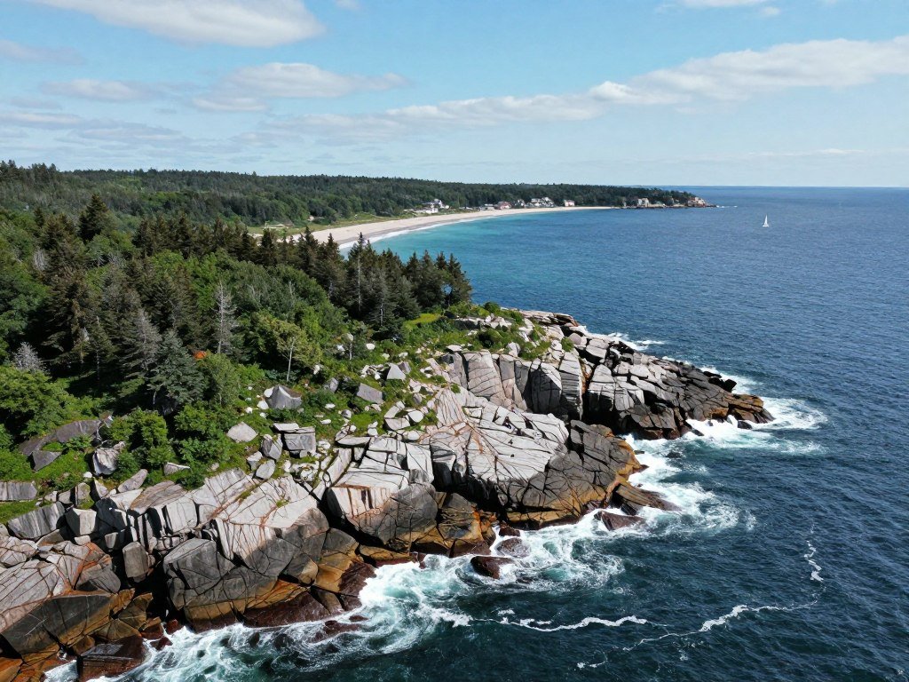
- Maine’s rocky coast can frame seasonal shoreline scenes, with mountain views inland. Scout public access and the local rules before planning a flight.
- Portland, Maine, offers city details, working waterfronts, and nearby scenery. Look for a launch area outside restricted airspace, then check property access.
- Cape Cod is a peninsula separated from mainland Massachusetts by a canal and two bridges. Its more than 550 miles of coastline include beaches and marshy forms worth scouting.
Changing shoreline, rooftops, and water can give you very different photos within a short drive. Still, the scenery does not tell you who manages the ground beneath it. A public beach may have rules that differ from nearby private land.
Plan the visit around a specific access point and a clear reason for flying. For Cape Cod, check the rules at the specific beach or shoreline access point before setting up.
Which West Coast Landscapes Suit Drone Photography?
Malibu is a strong California scouting option for pilots seeking cliff-lined shores and wooded mountain scenery. It can suit dramatic coastal images, but a scenic overlook is not automatic permission to launch. Southern California needs close airspace checks because dense population and nearby airports can affect a flight.
Malibu is a candidate area, not a blanket approval to fly. The coast, roads, parks, and private properties may have different access rules. Keep the flight plan tied to the exact location you can legally reach.
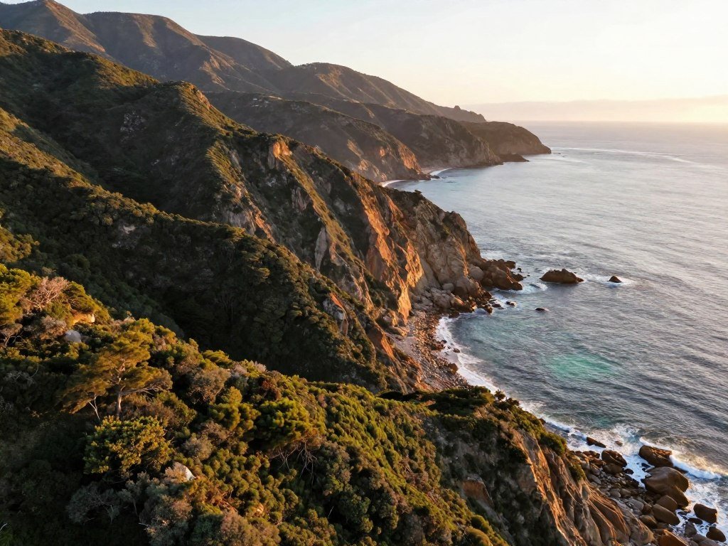
- Malibu pairs cliff-lined shores with wooded mountains. Scout a legal launch point with room to keep clear of people and nearby activity.
- The Oregon Coast offers shoreline views and headlands. Look for a suitable access area, then confirm local rules before you bring out your drone.
- Lake Tahoe gives you a water-and-mountain setting for wide scenic frames. A lake view does not settle access or airspace questions at the shore.
These locations can appeal to pilots seeking California and nearby West Coast views, yet their terrain differs sharply. The Oregon Coast is known for a long shoreline, while Tahoe combines water with mountain backdrops. Local access can vary even between nearby viewpoints.
Pick a composition you can capture without crowding other visitors or crossing property lines. At any coastal or lake location, check the exact launch site and local access rules before unpacking.
Which Island and Coastal Escapes Make Strong Drone Destinations?
Kauai is the Hawaii pick for pilots drawn to dramatic island scenery, while the Florida Keys and Puerto Rico offer different coastal settings. Each destination can inspire striking aerial photography, but a popular view does not establish permission to fly. Shore access matters as much as the scenery.
Check the exact launch spot and the current limits before flying near water. Sun glare can make it harder to see your drone, while wind and salt spray can add risks. Wildlife and crowded access also shape where a flight makes sense.
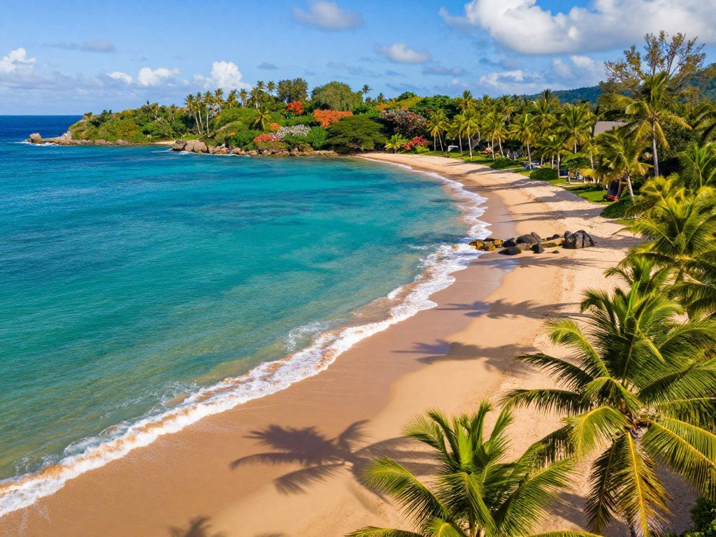
- Kauai offers varied island scenery, from coastal forms to inland views. Scout a launch place with legal access and a clear area for landing.
- The Florida Keys follow a chain of islands reached by the Overseas Highway. Water views may appear at many stops, but each access point has its own rules.
- Puerto Rico, a US territory and tourism destination, offers coastal and island scenes to explore. Check local access and wildlife concerns before setting up.
For photos, bright water can wash out details, so choose a time and angle that suit the scene. Salt spray can reach a drone even when you stay on shore. Leave room for other visitors rather than squeezing into a busy beach entrance.
Watch for wildlife and keep the aircraft away from people enjoying the coast. Near the water, leave extra room for wind shifts and a safe landing away from beachgoers.
Where Are Good Drone Destinations in the South?
Texas Hill Country is a practical starting point for pilots who want open rural landscapes rather than a dense city backdrop. It is a candidate area, not permission to fly from a ranch, road, or park. Private-property access deserves special care when choosing a launch point.
Check the land manager’s rules as well as the airspace for the exact spot. Texas state parks do not all follow one drone policy. For example, Martin Dies, Jr. State Park allows drones only in a designated area, while filming at other Texas state parks requires a park filming permit.
- Texas Hill Country offers open rural scenes, rolling land, and wide views. It is a useful candidate for pilots seeking places to fly drones near Texas, but confirm access first.
- North Carolina’s Outer Banks offer coastal settings and long stretches of shoreline. Scout locations where public access and local rules permit your planned activity.
- The Ozark Highlands bring wooded hills and water into the frame. Look for a suitable site with room to operate without disturbing visitors or wildlife.
These areas suit different styles of photography, from broad rural views to shorelines and wooded water. Events can also bring more people to an otherwise quiet place. Leave a safe margin around gatherings and busy access points.
The rules for one state park may differ from those at another, so check with the manager of the specific property. Keep people, wildlife, and private property out of the flight path and launch plan.
Where Can You Find Big-Sky Landscapes in the Mountain West?
Sedona, the Bonneville Salt Flats, and Colorado’s Front Range offer three distinct backdrops for an inland drone outing. They range from red rock to open salt ground and mountain views. Open-looking land is not a permit to launch or enter.
Check airspace and land access separately, even when the ground appears empty. A remote setting can still have airspace limits, managed land, or private boundaries. The right launch point depends on both the flight rules and who controls the property.
- Sedona offers red-rock scenery, with layers of stone that can create strong depth in aerial photos. Scout a lawful access point outside any restricted area.
- The Bonneville Salt Flats offer open salt-flat views and a broad sky. Check land access and conditions at the exact place you plan to launch.
- Colorado’s Front Range brings mountain views and changing terrain. Choose a ground spot that gives you room to operate without crossing property boundaries.
These inland areas can look spacious from the road, but a wide view can hide fences, visitors, or managed land. A clear path on the ground does not mean the airspace is clear. Treat each location as a fresh check.
Do not assume an empty parking pullout or flat stretch is open for launch. Confirm both the airspace and the land manager’s rules before choosing an apparently empty launch area.
Which Drone Locations Fit Practice, Photography, and FPV?
A broad open field is the best fit for a new pilot practicing basic controls, while a dedicated AMA field suits organized model-aircraft or FPV flying. A photographer needs clear sightlines and permission to launch. Match the site to the task, not just the view.
FPV practice belongs at a dedicated course or AMA field with room for a course. FPV racing uses gates and needs enough space for pilots to fly safely. Academy of Model Aeronautics fields are set aside for model aircraft and drones, and some may require AMA membership.
Open fields for learning basic controls
A new drone pilot benefits from a broad field with few people, trees, poles, or other obstacles. A quiet, open area gives you room to practice turns and stops without a busy backdrop. Confirm you can use the field before setting up.
Landscapes for aerial photography
Drone photography works best where the view has clear sightlines and you have permission to launch. A scenic ridge or open shoreline may suit the frame, but the actual takeoff point still needs lawful access. Keep the route simple enough to maintain control.
Dedicated fields for FPV practice
An AMA field can offer facilities and a community of experienced pilots. The Academy of Model Aeronautics describes its clubs as places to fly, learn from other members, and practice model aviation. Ask about field access and membership before arriving.
| Purpose | Suitable setting | What to check |
|---|---|---|
| Beginner practice | Broad open field | Few people and obstacles |
| Drone photography | Landscape with clear sightlines | Permission to launch |
| FPV practice | Dedicated course or AMA field | Course space and membership |
A location that feels right for photos may be a poor place to learn basic controls. Likewise, an open field may lack the gates or facilities needed for racing. Choose a site that matches the flight you intend to make, not just the view you hope to capture.
Which Areas Should Drone Pilots Avoid or Check Twice?
A National Park Service site is not a recreational drone destination, even when its scenery looks ideal from above. National parks and other lands managed by the National Park Service prohibit drone flights, with exceptions generally limited to authorized work such as research. Do not treat a scenic view as an exception.
State and local parks set their own rules, so check with each managing authority. A clear FAA airspace map does not override land-use limits or privacy concerns. Signs, park websites, and staff can help clarify local launch and landing access.
National Park Service lands and protected places
Keep national parks and other National Park Service lands off your recreational flight list. State parks and city parks are different: their managing agencies may set separate rules for drones, takeoff, and landing. Check the specific park rather than assuming one policy covers all parks.
Temporary Flight Restrictions around events and emergencies
A Temporary Flight Restriction can close airspace for a limited time. TFRs may apply to sporting events, concerts, VIP movements, emergencies, air shows, or wildfires. A familiar area can change quickly when an event or emergency creates a new restriction.
Is It Legal to Fly a Drone in a Residential Area?
Flying in a residential area is not automatically prohibited just because homes are nearby. The specific flight must still meet airspace rules, local takeoff and landing rules, safety needs, and privacy expectations. A map that shows no airspace limit does not settle those ground questions.
Keep clear of people and avoid filming private spaces without a sound reason and care. A concerned neighbor or property manager may point to a real access or privacy issue. If residents, signs, or a property manager raise a concern, do not launch until you have resolved the local access and privacy questions.
How Should You Plan a Safe Flight at a New Location?
Check the forecast and your equipment before driving, then reassess wind and hazards when you reach the launch point. NOAA forecasts help you review weather, while METAR reports give observations from reporting airports. Airport weather is only a starting point because conditions can differ at your launch site.
Inspect the aircraft before and after each flight. A battery that looks charged at home still needs a check before takeoff. Give yourself enough time to spot a damaged propeller, loose part, or new hazard on the ground.
Before leaving home
Check NOAA forecasts and METAR aviation weather observations from reporting airports. Charge your batteries, inspect the aircraft, and choose a backup site. Airport reports cannot tell you every gust or obstacle at the launch point.
At the launch site and after landing
Check the local wind, nearby obstacles, landing area, and wildlife before takeoff. After landing, inspect the drone and its equipment for damage. A brief check can catch a loose propeller or a new crack before your next flight.
| Stage | Checks | Reason |
|---|---|---|
| Before leaving home | Forecast, battery charge, aircraft condition, backup site | Find problems before the drive |
| At the launch site and after landing | Wind, obstacles, landing area, wildlife, equipment inspection | Respond to local hazards and wear |
Weather can change between the forecast and your arrival, and a crowded site may not leave room for a safe takeoff. If the intended location no longer suits the flight, use the backup you chose. Keep a backup location in mind in case weather, crowds, or a new restriction changes your plan.
Conclusion
The best destination is the one where the view, the launch site, and the flight conditions all work together. A scenic place remains only a candidate until you check its airspace and ground access. Your exact launch point matters more than the name of the town or park.
Choose one location and confirm who manages the land, what access is allowed, and whether the current flight rules fit your plan. That small step can save a wasted drive and help keep the outing safe for others. Pick one candidate location, check its airspace and local access rules, and only then pack for the flight.
FAQ
Can I fly a recreational drone at night?
Yes, recreational flyers can fly at night if they meet FAA rules, including using anti-collision lighting visible for three statute miles. The lighting must help others see the aircraft, not just help you see it. Check current FAA requirements and local access rules before a night flight, since darkness can make obstacles and distance harder to judge.
Can I fly over private property if the owner gives permission?
Yes, an owner can give you permission to use their property, but that permission alone does not clear the flight. You still need to follow FAA airspace rules and other safety requirements. Privacy laws or local rules may also apply, especially near homes or people. Agree on where you can launch and land before setting up.
Does an airspace app tell me whether a local park allows takeoff?
No, an airspace app does not decide whether a local park allows takeoff or landing. It can show airspace information and help you spot restrictions, but park authorities set access rules for their land. Check with the specific park manager, even when the map shows no airspace limit near your intended launch point.
Can I fly a drone over water?
Yes, you can fly over water when the airspace and other rules allow it. Water does not remove visual-line-of-sight requirements or make a restricted area open. Wind can change over shorelines, and a drone that lands in water may be hard to recover. Keep wildlife and people in mind when choosing a route.
Can a Temporary Flight Restriction affect a location I already checked?
Yes, a Temporary Flight Restriction can affect a location that was clear during an earlier check. TFRs may appear for events, emergency work, VIP movements, or wildfires. Check close to flight time, even if you know the area well. A past flight or an old screenshot does not confirm that the airspace is open today.
Do state and city parks follow the same drone rules as national parks?
No, state and city parks do not all share one drone policy, and National Park Service lands have their own restrictions. Each state or local agency may set different rules for flying, takeoff, and landing. Check the specific park authority before your visit. A park may limit launch access even when its surrounding airspace is clear.